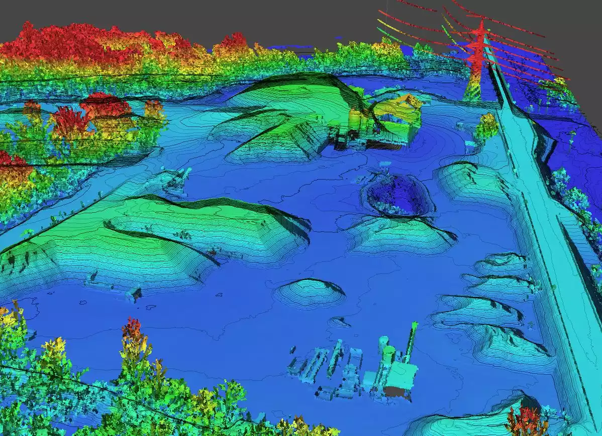
It is possible to verify a 3D model through an As-Built survey, and the use of a high-precision point cloud represents an optimal solution for this type of verification.
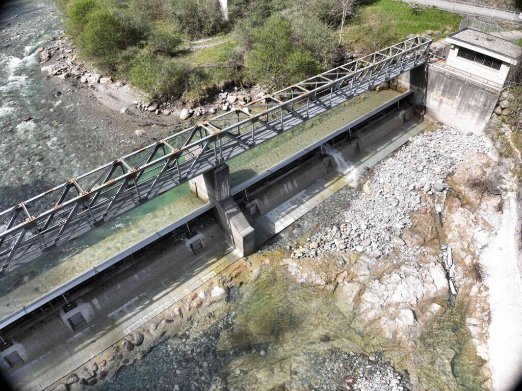
Through a topographically georeferenced and calibrated photogrammetric aerial survey, it is possible to reconstruct a hydraulic structure in detail. This method allows for the creation of an accurate and functional 3D model, which is essential for the technical investigations required for evaluating and maintaining hydraulic structures.
The combination of these advanced technologies ensures high precision in data collection, providing a solid foundation for engineering analysis and interventions. The point cloud, generated through these surveys, offers an extremely detailed three-dimensional representation of the structure, enabling precise identification of structural features and potential issues.
This methodology not only enhances the quality and reliability of 3D models but also optimizes the processes of design, monitoring, and maintenance, contributing to a more efficient and sustainable management of hydraulic works.
#3DModel #AsBuiltSurvey #PointCloud #HydraulicEngineering #Photogrammetry


