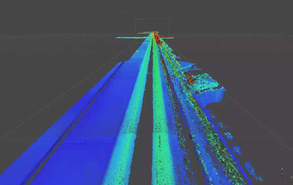
The survey of the Romea Road, one of Italy’s main roadways, has been successfully completed. The operation was carried out using a drone equipped with a LiDAR sensor, a cutting-edge technology that enables surveys to be conducted on even the highest-traffic roads in complete safety.
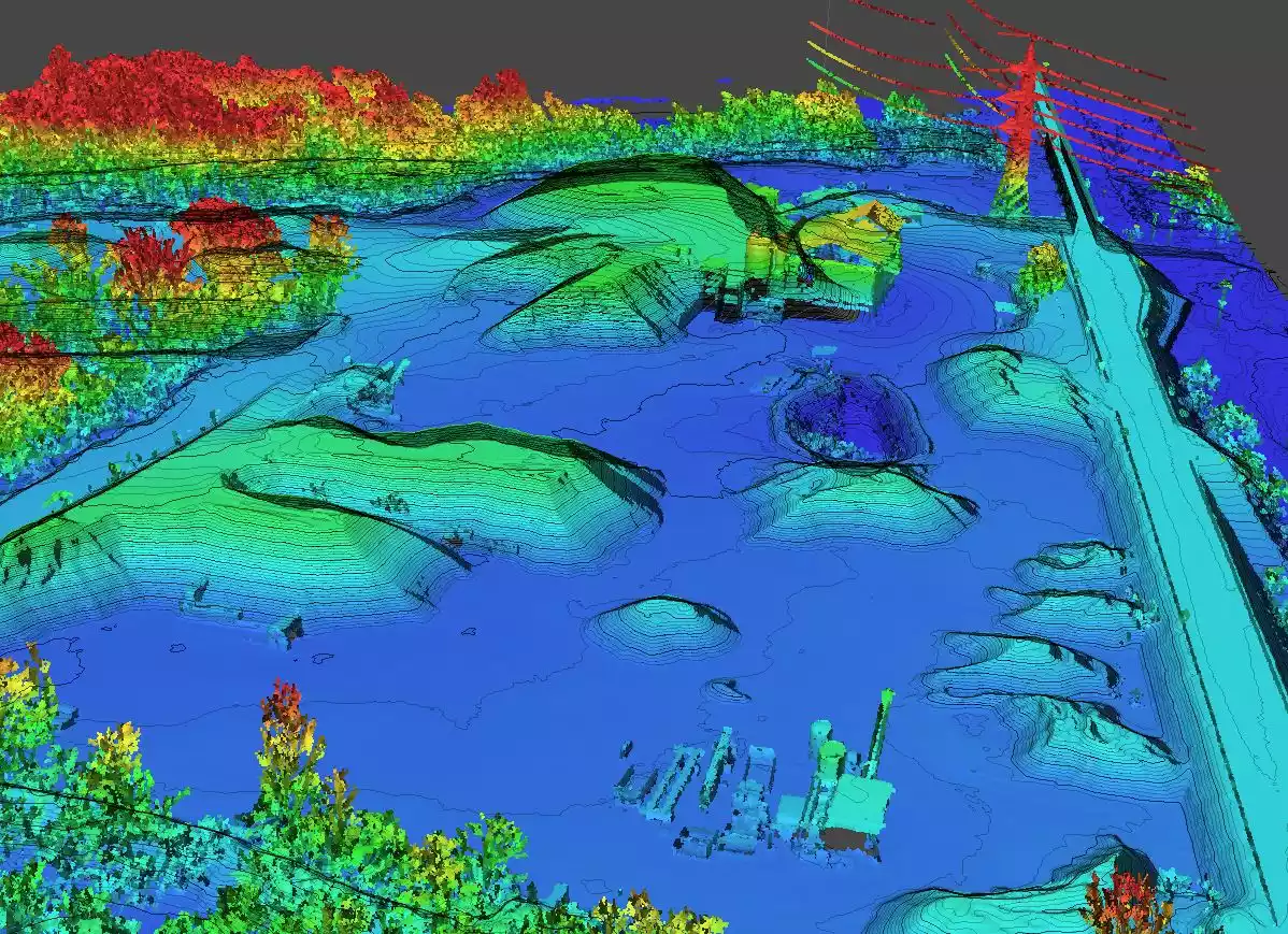
During the project, 15 kilometers of road were covered, producing high-quality orthophotos, detailed point clouds, and digital elevation models. These data will be crucial in providing support and advanced engineering services, thus improving the planning and maintenance of road infrastructures.
The use of LiDAR, which stands for Light Detection and Ranging, represents a significant advancement in the field of remote sensing, allowing for extremely precise and rapid surveys. The combination of orthophotos and digital models offers a comprehensive and detailed view of the territory, facilitating the work of engineers and urban planners.
This project is an example of how technology can improve infrastructure management by reducing risks for operators and increasing survey efficiency. The Romea Road will now benefit from accurate data for targeted interventions, ensuring better maintenance and greater safety for all road users.
#RemoteSensing #LiDAR #Orthophoto #Processing


