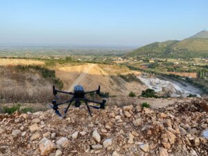
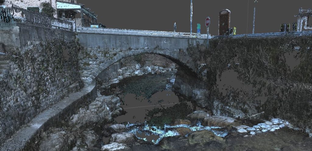
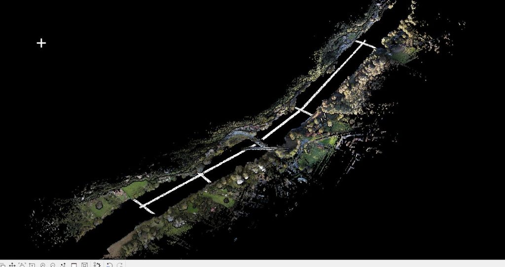
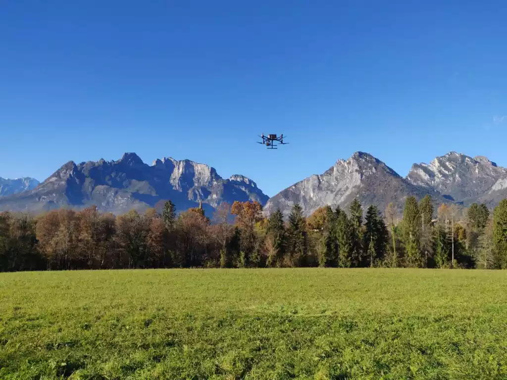
Conducted integrated aerial photogrammetric and LiDAR surveys of 8 active quarry sites to assess the current status of the sites and any changes relative to previously acquired data.
- Total area surveyed: 172.5 ha
- Survey resolution: average resolution of 1 pixel every 5 cm²
- Average single point accuracy (x, y, z): 3 cm
- Flight altitude: 120 metres above ground surface
- Geographical reference system: local coordinates or Gauss-Boaga East fusion
- Output products: 3D point model; planimetry with contour representation, scale 1:200; cross-sections, scale 1:200; high-resolution orthophotoplans (up to 5 cm pixels); report on detected volumetric and planimetric variations.
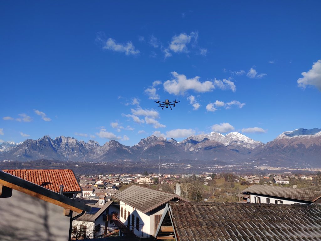
All activities were carried out by the EPC team using our equipment: UAS matrix 300 RTK drone -DJI ZENMUSE L1, UAS DJI MAVIC 3 Multispectral, Laser Scanner LEICA Scanstation C10 and GPS Geomax ZENITH10.

