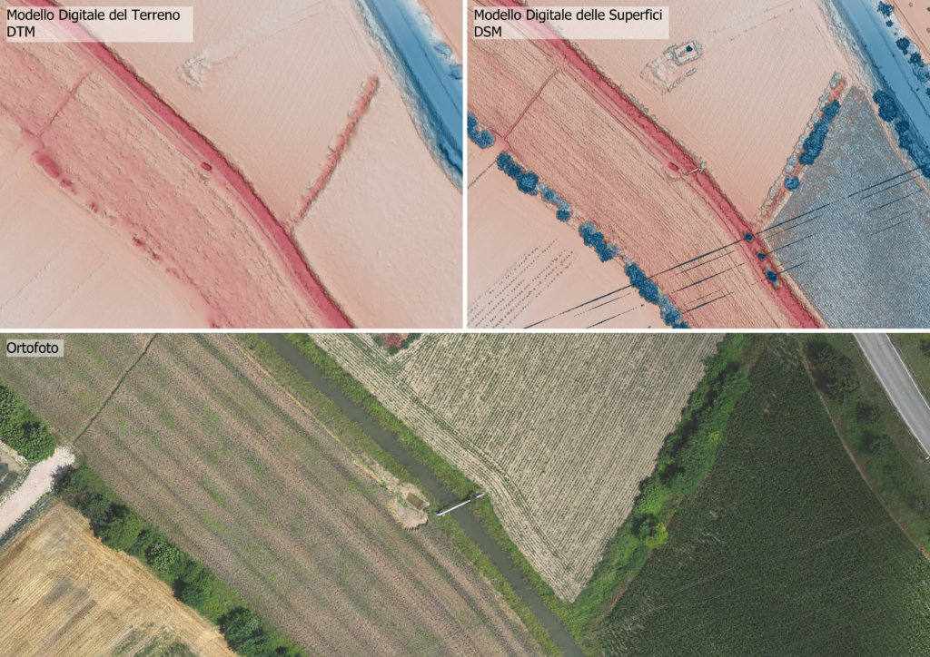
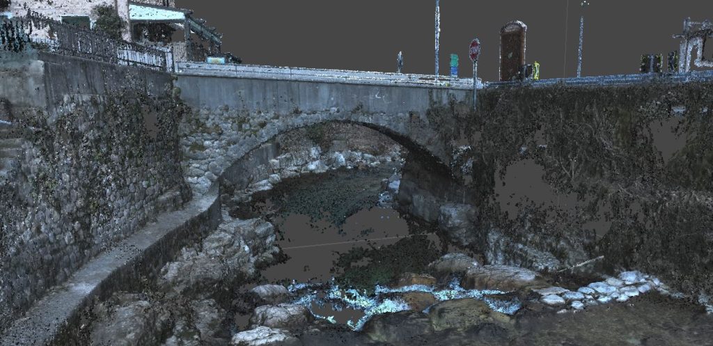
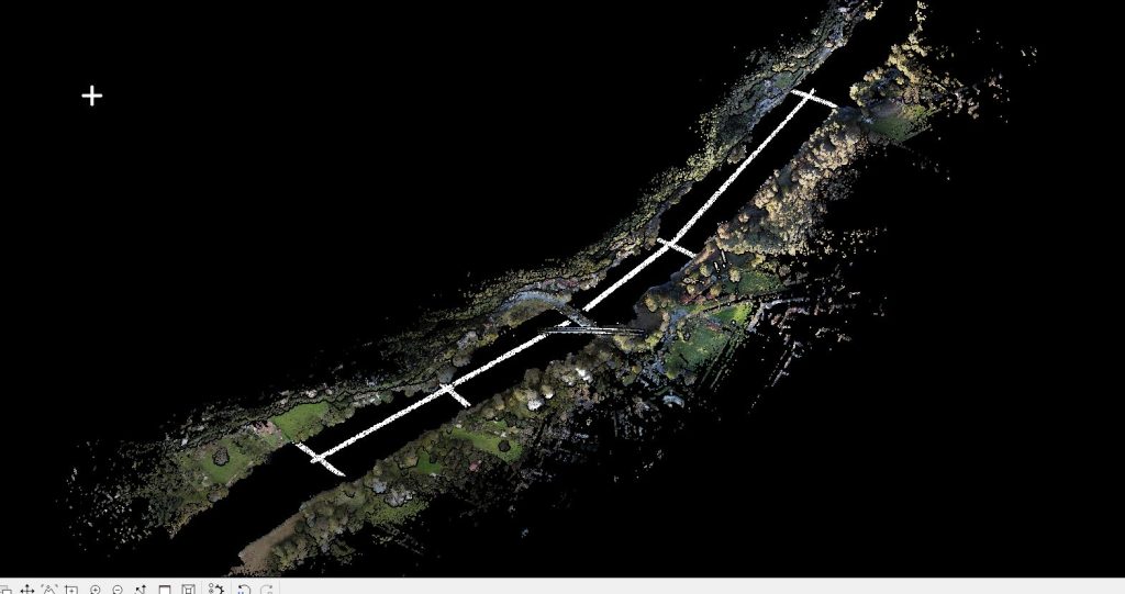
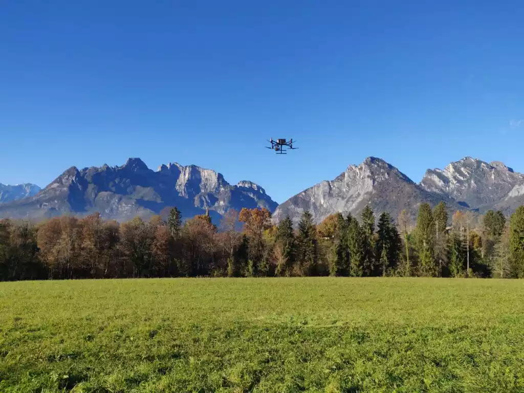
Photogrammetric and airborne laser scanning survey of an area of 11 ha in the municipality of Albignasego, with the aim of providing useful data for the subsequent modelling and design of the hydraulic works.
Among the documents produced during the activities are: digital terrain model, digital surface model, LiDAR point cloud, high resolution orthophotos with 2cm pixels and topographic data output of some wells.
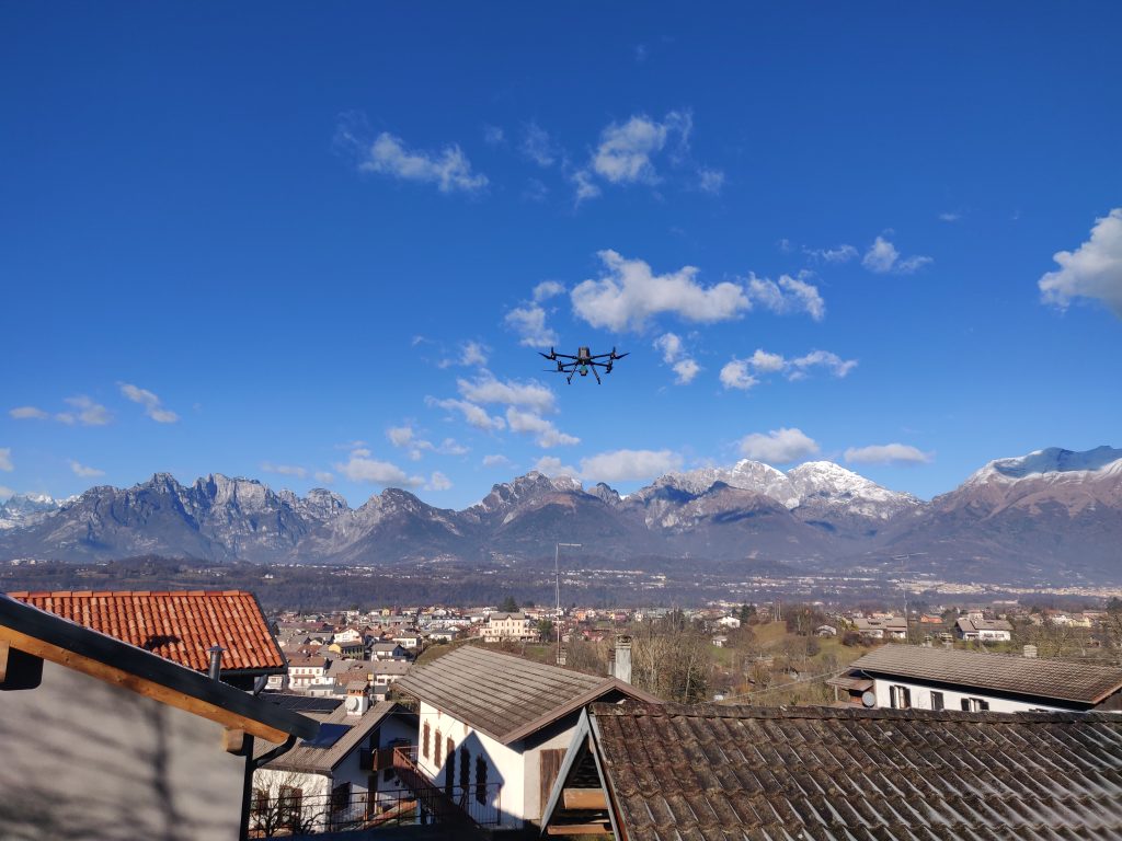
All activities were carried out by the EPC team using our equipment: UAS matrix 300 RTK drone -DJI ZENMUSE L1, UAS DJI MAVIC 3 Multispectral, Laser Scanner LEICA Scanstation C10 and GPS Geomax ZENITH10.

