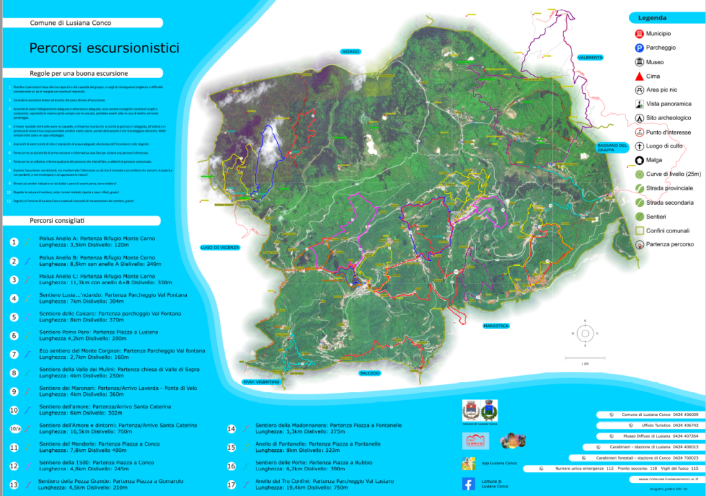
The project deals with the creation of detailed and informative maps. With the aim of representing a geographical area which has recently been the subject of an intervention to improve and redevelop the local path network. The maps created provide residents and visitors with a comprehensive guide to exploring the area in a safe and informed way.
The drafting of the maps took into consideration the following contents:
-
Traces of the paths: the project paths have been marked, as well as other complementary paths useful for hikers.
- Municipal roads and toponymy: the municipal roads and the names of the places have been indicated to facilitate orientation.
-
Hydrography: the presence of watercourses, rivers or ditches in the area has been highlighted.
- Altimetric trend: contour lines and elevation points have been included to understand the altitude variations in the area.
Additionally, we have worked with the municipality to identify and mark the following points of interest:
-
Points of scenic, historical interest and places of worship.
-
Location of accommodation facilities, such as bars, trattorias and farmhouses, which can offer services to hikers.
-
Location of other places useful for excursions, such as recommended car parks, refreshment points and pharmacies.
Regarding the background of the maps, two solutions have been proposed:
-
Aerial photo shaded and slightly retouched, acquiring the latest available from the Veneto Region.
-
Graphical background created specifically from vector data, such as land use and urbanization.
This background will be processed to make the graphic representation clear and pleasant.
This cartography was designed to be printed on leaflets at a scale of 1:25.000. We therefore produced 4.000 copies of leaflets with an open format of 85×67 centimetres, printed in four colors on 100 g/m2 matt coated paper. Each leaflet has been carefully packaged in a closed format of 9,4×13,5 centimeters to facilitate consultation.
In summary, this project aspired to create complete and informative maps to facilitate the use of the area by hikers, tourists and residents.
These maps offered a detailed and complete vision of the territory and its resources.
The collaboration with the municipality and the attention to detail ensures that these maps are valuable tools for exploring the area.
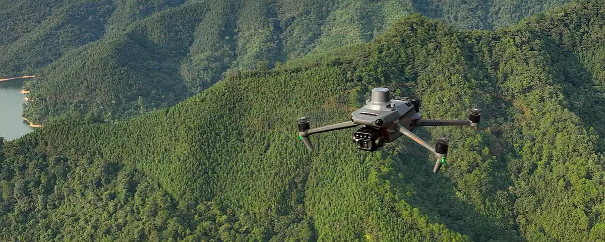
It should be noted that all these activities were managed internally by our expert team, using our specialized equipment, including the UAS Matrice 300 RTK drone with the DJI ZENMUSE L1 camera, the DJI MAVIC 3 Multispectral drone, the LEICA Scanstation C10 laser scanner and the Geomax ZENITH10 GPS. This has allowed us to guarantee the highest quality and control in all phases of the production of these maps, which constitute a precious tool for understanding and fully exploiting the territory