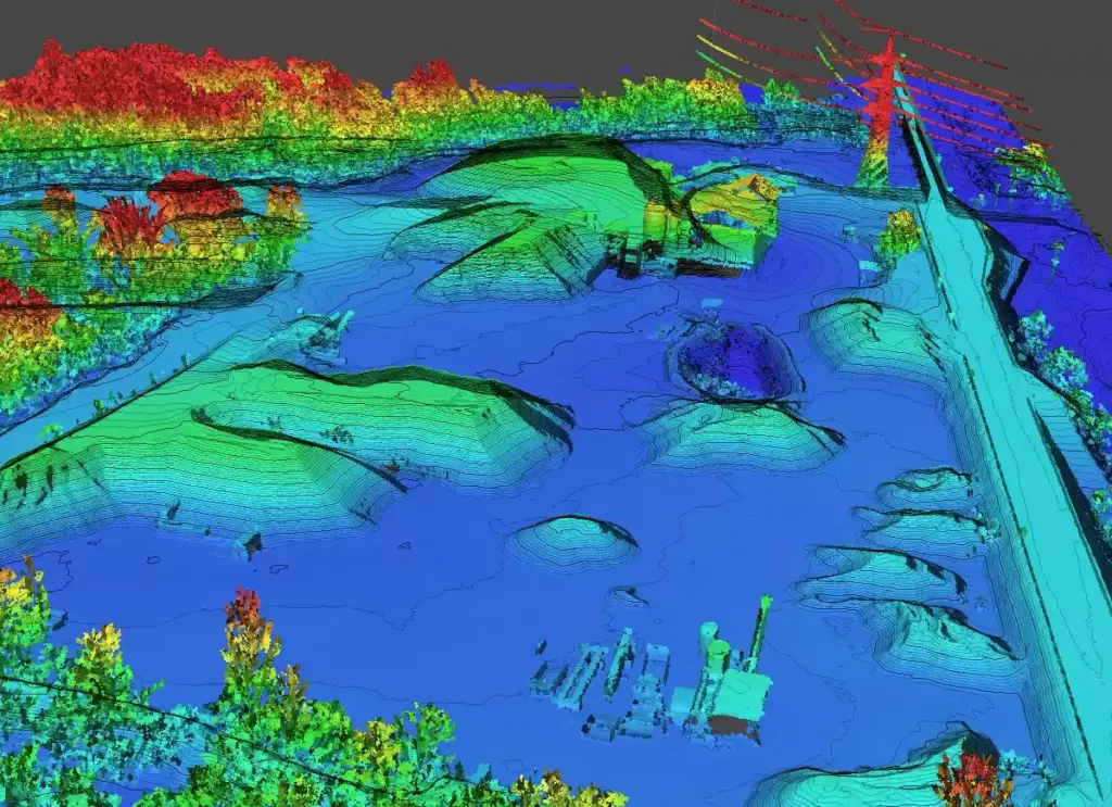
Quarries are now at the forefront of a technological revolution due to the increasingly widespread adoption of drone photogrammetric surveying. This methodology, already established as one of the most efficient solutions for mapping and monitoring these complex sites, has recently taken a further step forward with the introduction of new LiDAR sensors.
The use of LiDAR (Light Detection and Ranging) sensors allows for data surveys and processing with unprecedented speed and precision. This technological advancement enables the generation of detailed maps and accurate three-dimensional models of quarries in much shorter times compared to traditional methods. The combination of photogrammetry and LiDAR offers a comprehensive and detailed view of the terrain and existing structures, facilitating the work of engineers and geologists.
Thanks to these advancements, quarry management can be improved by optimizing extraction operations and minimizing risks for operators. The precision of LiDAR surveys allows for the accurate identification of terrain characteristics and the planning of targeted
Technological innovation continues to transform the quarry sector, offering increasingly effective tools to address the challenges of a constantly evolving environment. With the adoption of new LiDAR sensors, drone photogrammetric surveying confirms itself as a cutting-edge solution for quarry monitoring and management.
#Quarries #PhotogrammetricSurvey #LiDAR #Innovation

