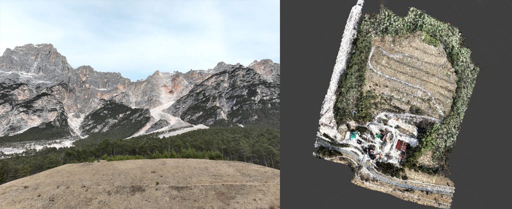
The following deliverables were delivered to the client: a three-dimensional point cloud, a digital elevation model of the terrain (DEM), a detailed orthophoto and some CAD returns, which include: the terrain surface, derived from the DTM with cells of size equal to 10 cm, represented through detailed contour lines with an interval of 1 meter.
Furthermore, the cross sections were calculated along the section lines, which are stably reported in each monitoring.