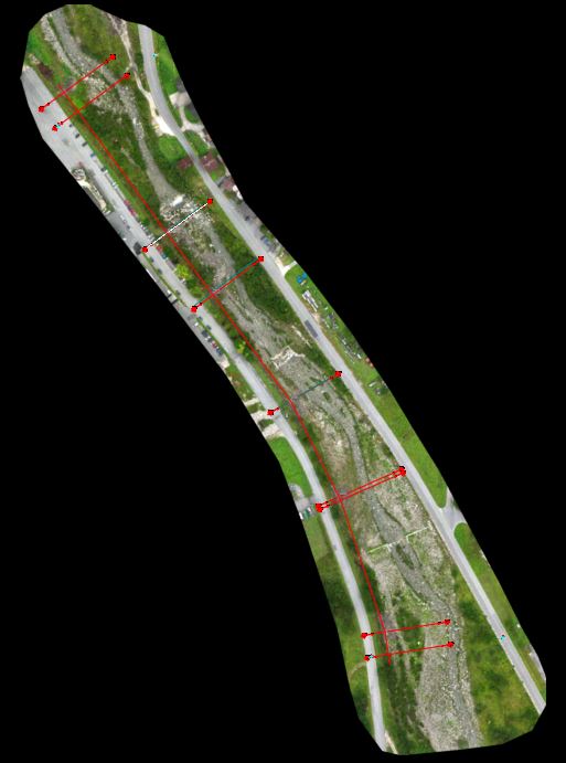
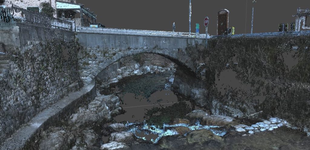
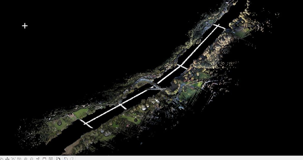
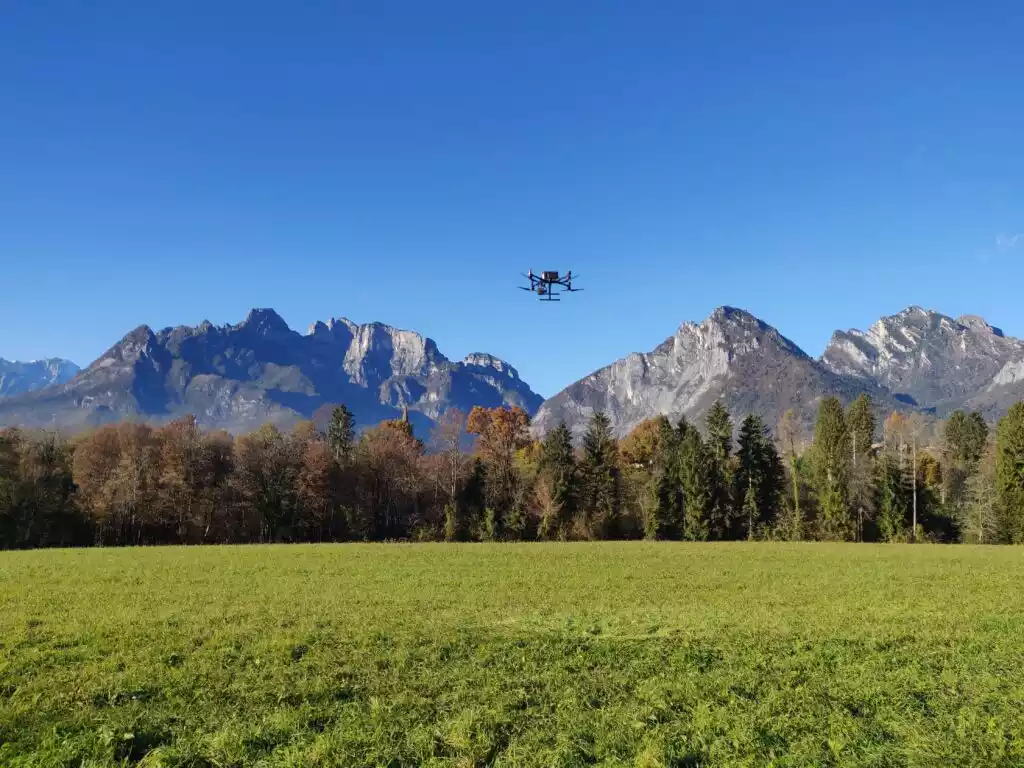
Aerophotogrammetric and topographic survey of a section of the riverbed along the Maè torrent in Zoldo, Belluno.
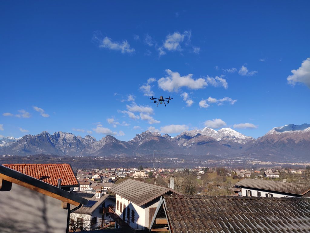
The survey was carried out using the Matrice 300 RTK UAS drone equipped with EPC’s proprietary ZENMUSE L1 LiDAR system, which integrates a Livox LiDAR module, a high-precision IMU and a 3-axis stabilised 1″ CMOS 20mp camera.

