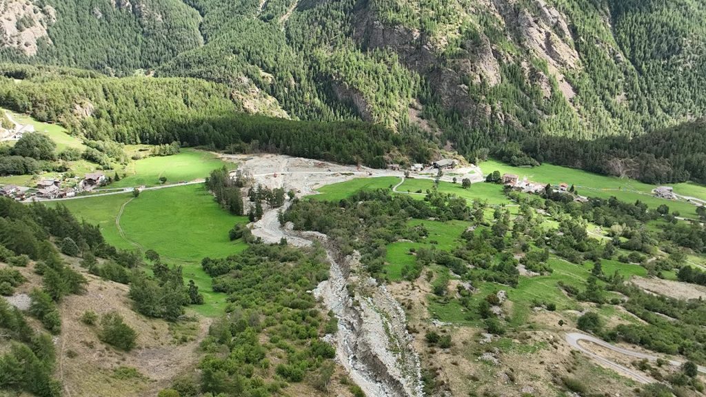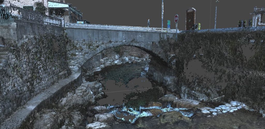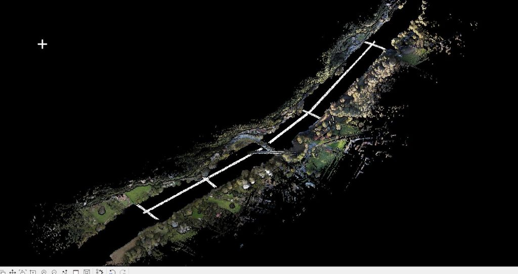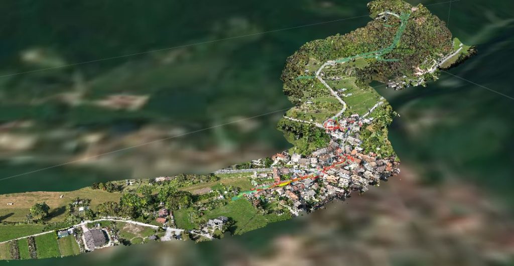
Topographic and aerophotogrammetric survey with the aim of providing the following products
- Creation of a digital terrain model of the riverbed;
- Orthophotos of the areas surveyed with SAPR equipment;
- Topographic data output of some field elements.
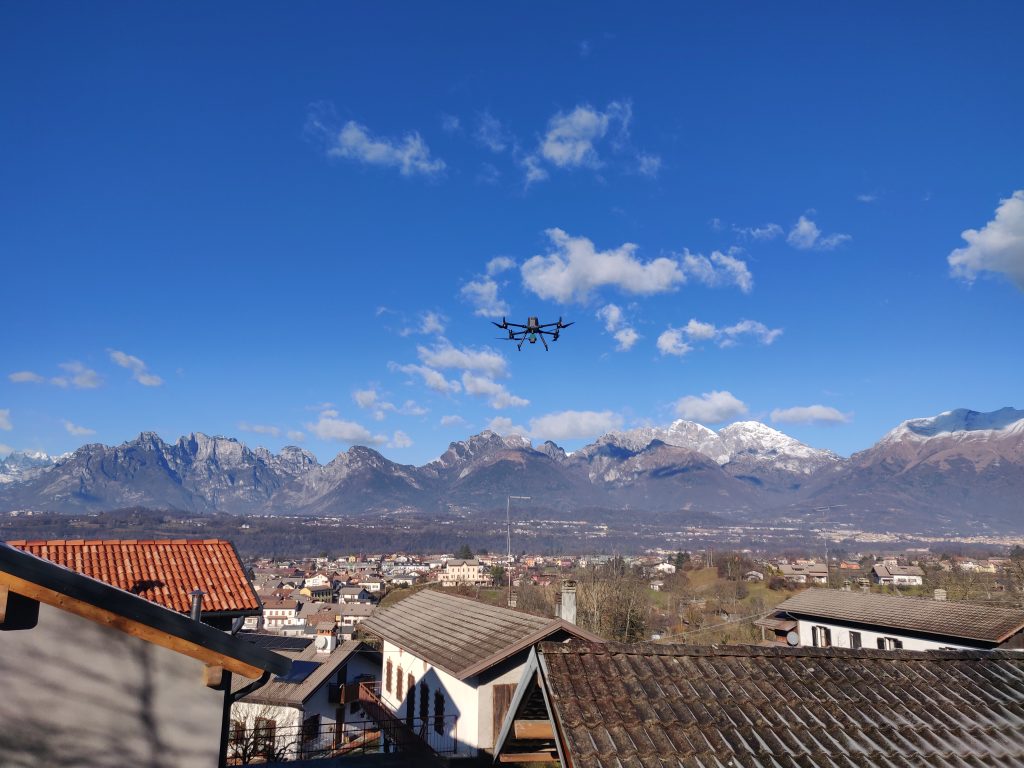
All activities were carried out by the EPC team using our own instrumentation: UAS matrix 300 RTK drone -DJI ZENMUSE L1, UAS DJI MAVIC 3 Multispectral, Laser Scanner LEICA Scanstation C10 and GPS Geomax ZENITH10.