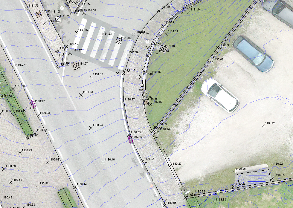
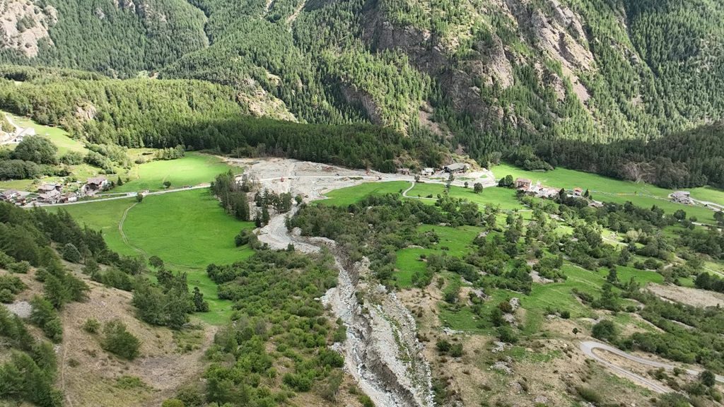
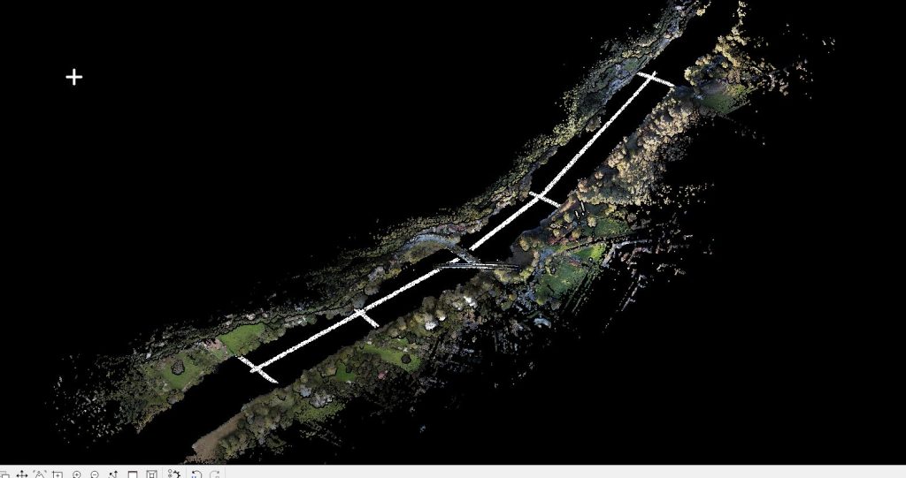
Topographic and aerophotogrammetric surveys were carried out in the municipality of Cortina d’Ampezzo for a linear development of 1,100 meters. The aim of the activity was to provide the client with a detailed update on the current state of the area for the subsequent design of the roadworks.
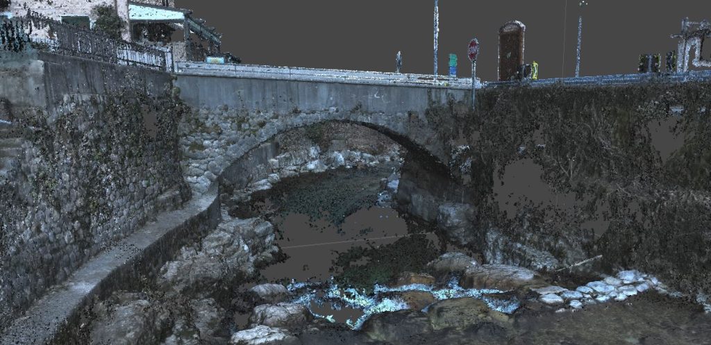
Among the various documents produced were: the digital terrain model (DTM), photogrammetric point cloud, and high-resolution orthophotos with 2 cm pixels. Additionally, 2D and 3D vector restitution of the main elements of interest, such as roadsides, fences, signs, artefacts, and light points, was carried out.
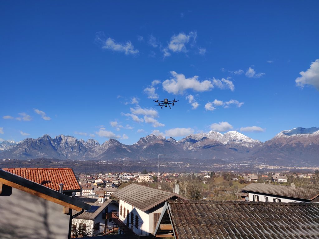
All activities were conducted by the EPC team using our equipment: UAS Matrix 300 RTK drone with DJI ZENMUSE L1, UAS DJI MAVIC 3 Multispectral, LEICA Scanstation C10 Laser Scanner, and GPS Geomax ZENITH10

