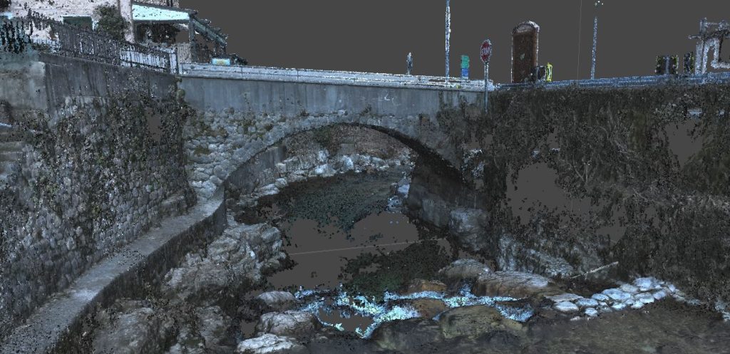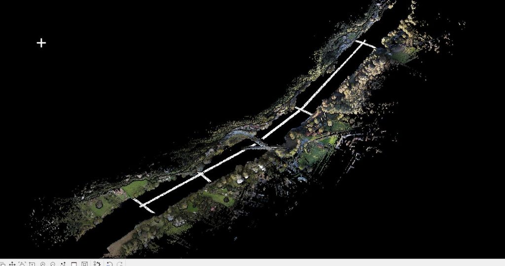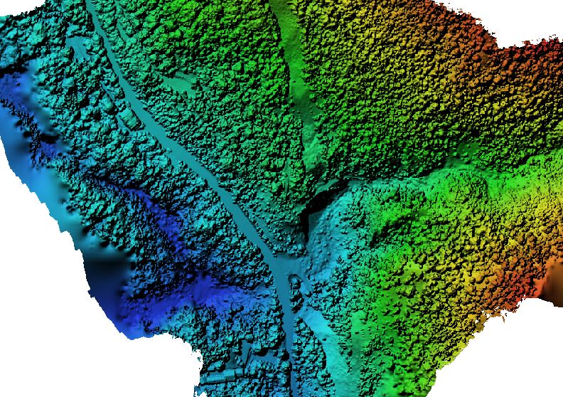
Topographic and LiDAR survey of a section of an alpine cone covering approximately 5.5 hectares for subsequent hydraulic design.
The activity enabled the creation of a digital terrain model of the area and the delivery of an updated orthophoto plan of the sites.
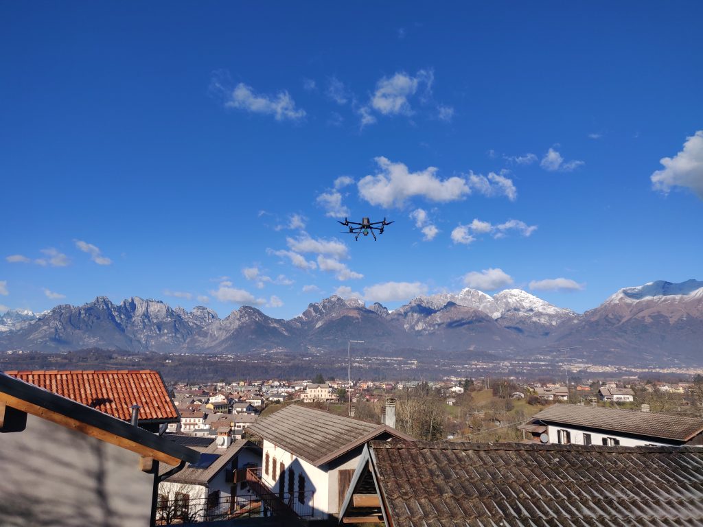
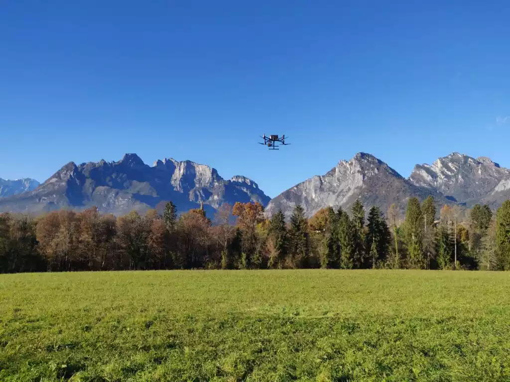
All activities were carried out by the EPC team using our own equipment, including a UAS Matrix 300 RTK drone with DJI ZENMUSE L1 and GPS technology in RTK mode, with a maximum RTK error limit of 5 cm (both planimetric and elevation).