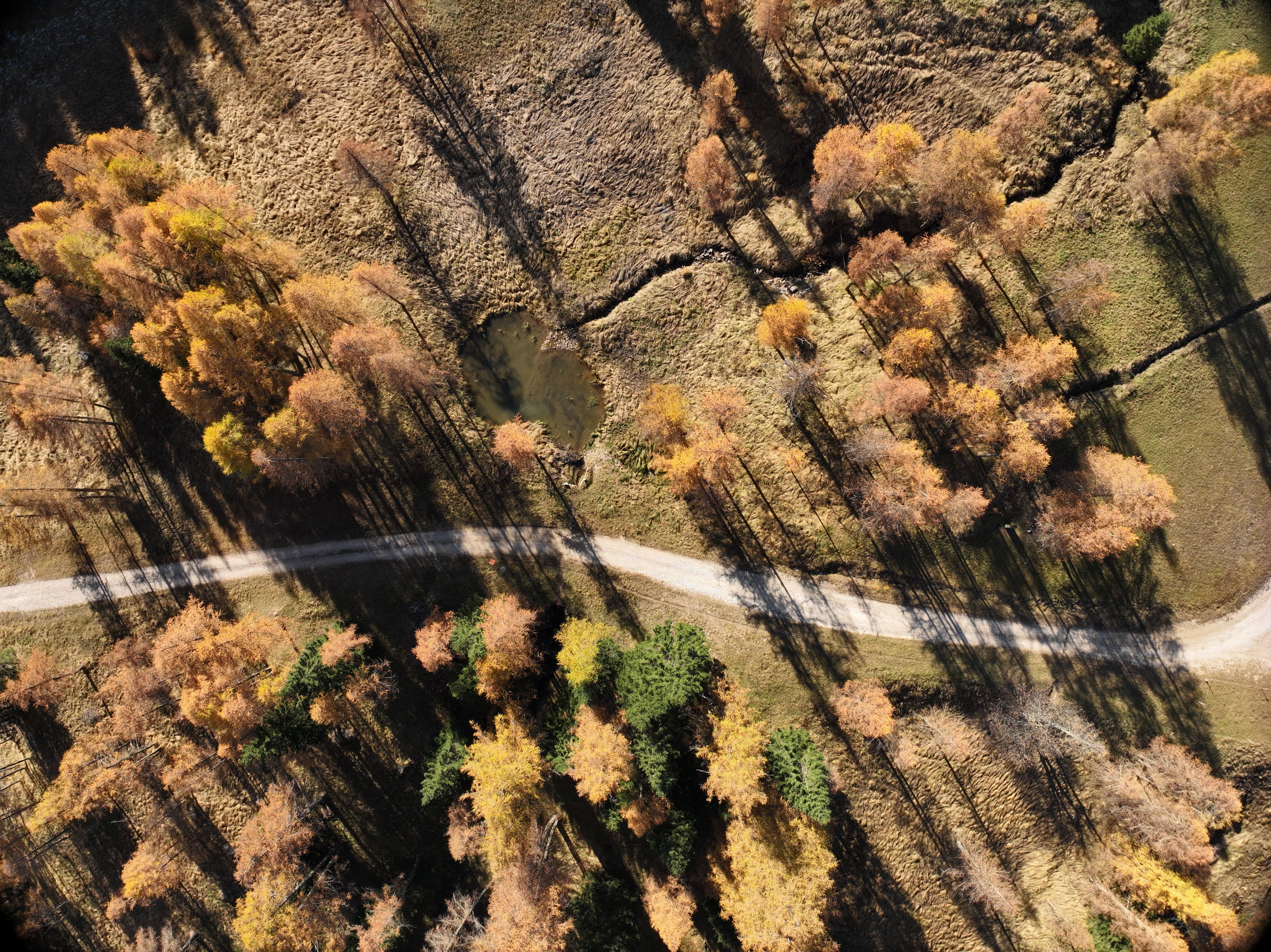
In 2024, the EPC team carried out a laser scanner drone survey for the municipality of San Vito di Cadore (BL), at the former aggregate landfill called “La Vallesella.” The site, located on the hydrographic left of the Boite Valley on the southern slopes of Mount Sorapis, has been the subject of several monitoring campaigns since 2011.
Objectives of the survey
The main objective of our intervention was to verify any morphological changes at the site from previous surveys and to provide high quality data to represent the state of affairs. Specifically, the survey resulted in
- A georeferenced three-dimensional point cloud;
- A detailed planimetry with the presentation of contour lines and cross sections.
Instrumentation Used
For the survey of ‘La Vallesella‘, we chose the DJI Zenmuse L1, DJI’s first LiDAR instrument for the Matrice 300 RTK.
The Matrice 300 RTK is a powerful industrial aerial platform equipped with an advanced flight control system, a six-way tracking and positioning system and an FPV camera. Correct georeferencing of the collected data was ensured by the built-in RTK module, which provided accurate position data.
The Zenmuse L1 payload includes a LiDAR module, a high-precision IMU, and a camera with a 20 MP CMOS sensor. Combined with the Matrix 300 RTK and DJI Terra software, it is a complete solution that provides real-time 3D data.
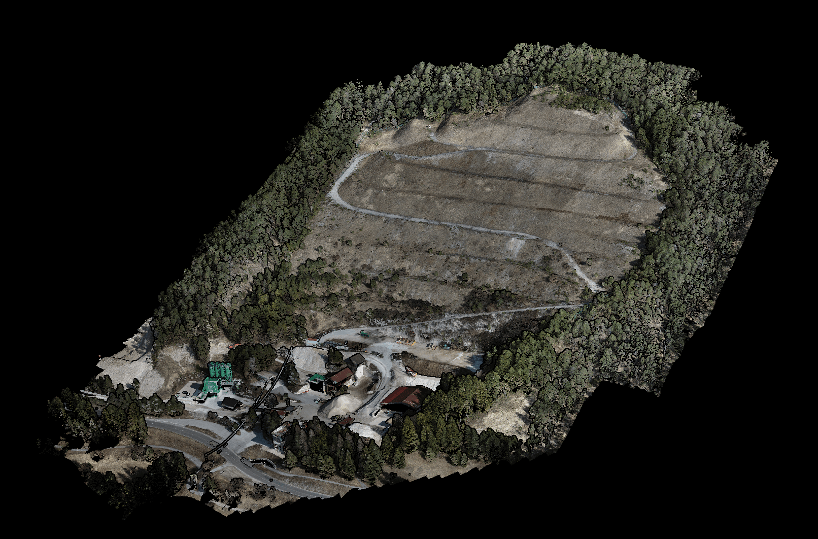
Nuvola di Punti completa visualizzata a colori
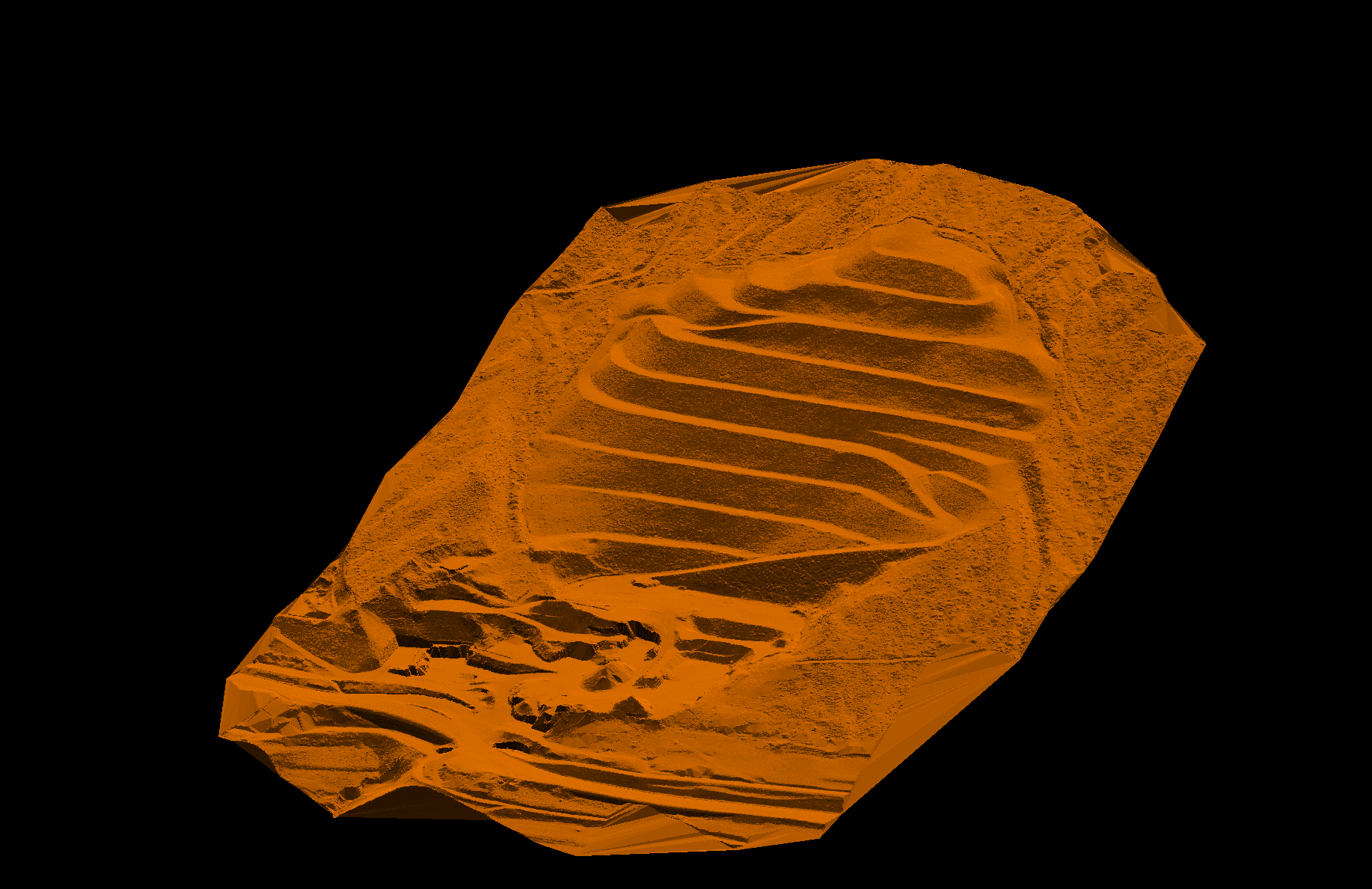
Visualizzazione Mesh della NDP Ground (DTM)
Work process
The survey was carried out according to a carefully prepared preliminary plan based on the morphological characteristics of the terrain. The operations followed a rectilinear flight pattern, with periodic calibrations to optimize data accuracy. The Matrice 300 RTK performs calibrations at the beginning and end of each flight mission, at the midpoint of any flight segment longer than 1,000 meters, and every 100 seconds during extended flights to ensure optimal accuracy in overlapping areas.
The georeferencing was refined by using a GPS antenna, which improved the accuracy of the point clouds.
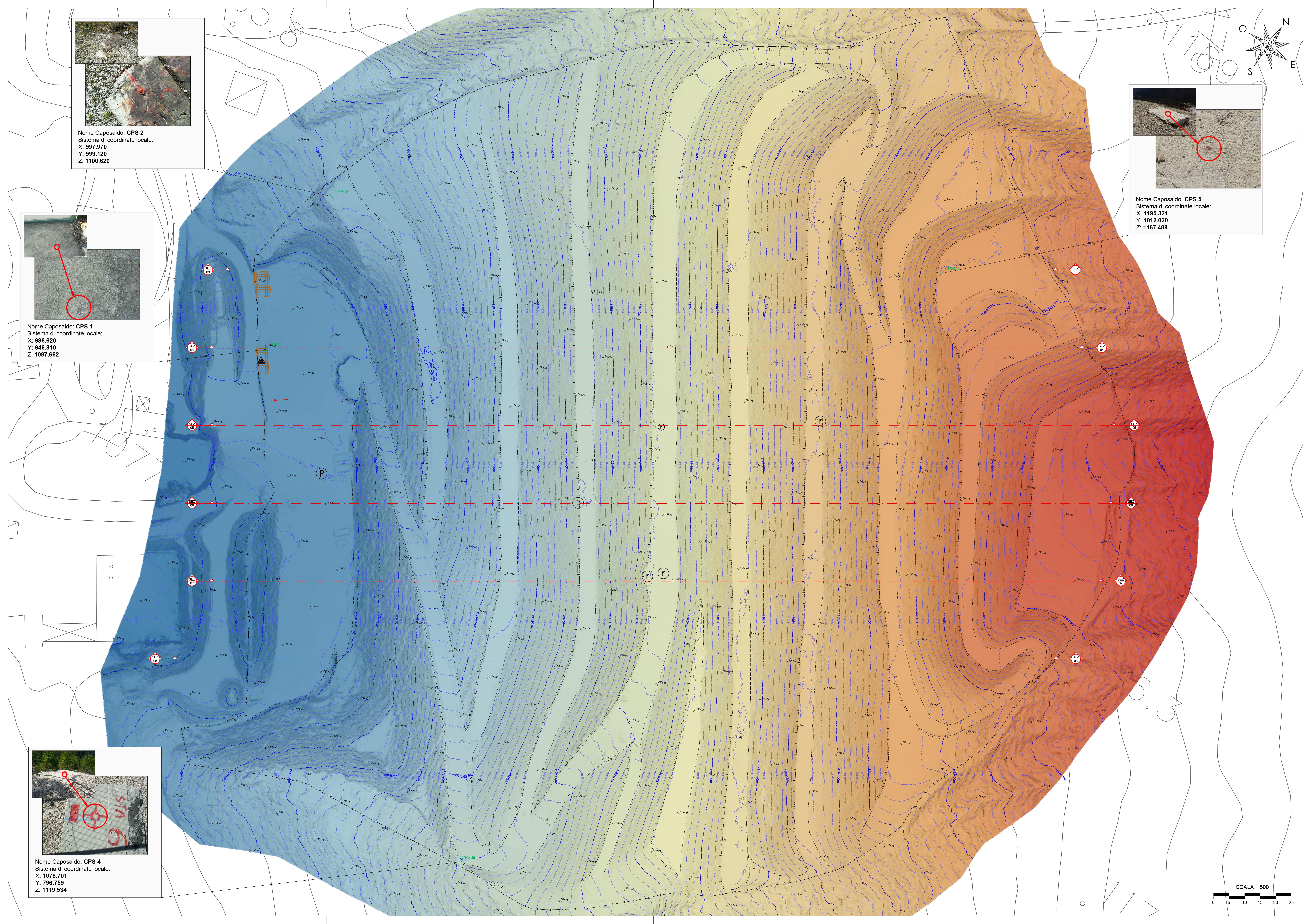
Restituzione planimetrica con individuazione dei caposaldi e modello digitale del terreno
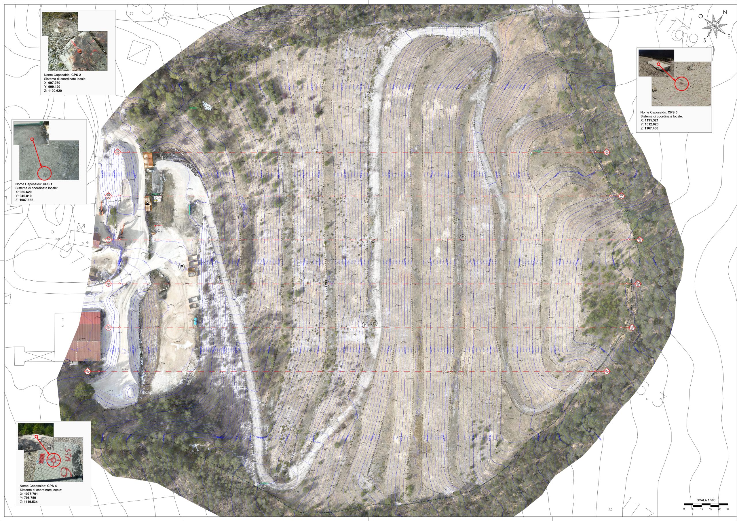
Restituzione planimetrica con individuazione dei caposaldi e delle sezioni trasversali
The elaborations included
- Data acquisition parameters chosen according to the morphology of the terrain and natural or anthropogenic obstacles.
- Data pre-processing: point cloud generation.
- Coordinate transformation of the point clouds first in the official reference system (EPSG:7791) and then the products were rototranslated in the local system defined by the client.
- Processing of LiDAR point clouds, reduction of noise, and classification of points belonging to the ground (terrain) versus those above ground, representing other elements, surfaces, or elevations.
- Verification of planimetric and elevation accuracy.
Final products include
- Point cloud (NDP);
- Digital elevation model (DEM);
- Orthophotos of detail (OF);
CAD returns:
- Ground surface (from DTM with 10 cm cell size), visualized with detailed contour lines with 1 meter spacing.
- Cross-sections computed along the contour lines stably reported in each monitoring.
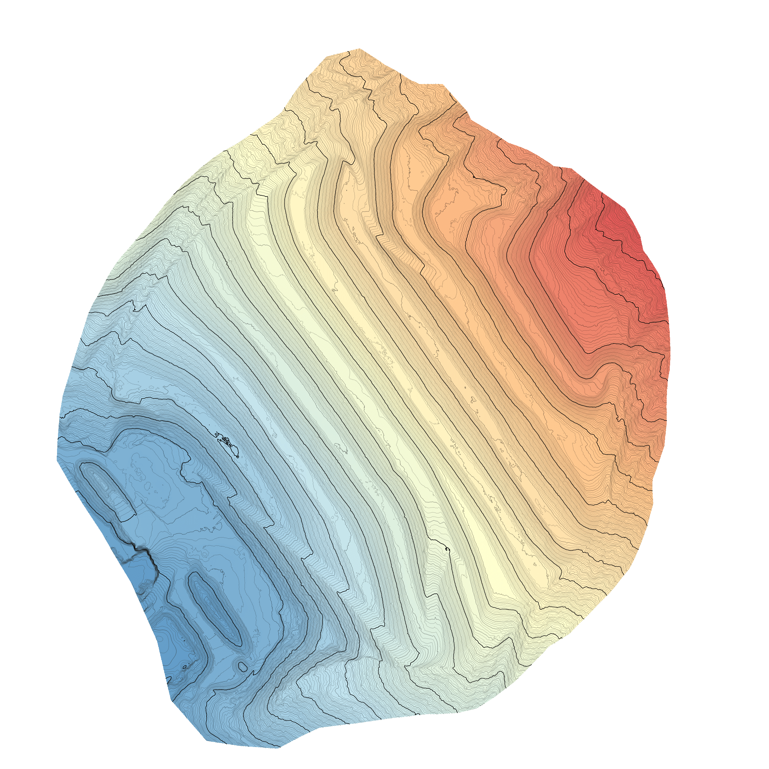
Visualizzazione del DTM
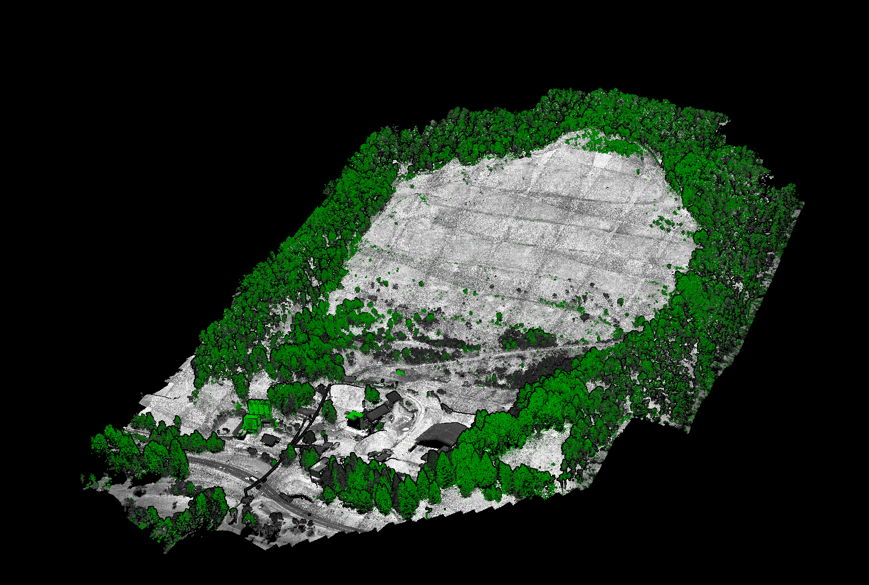
Visualizzazione NDP a indice di vegetazione
The laser scanning drone survey of the ‘La Vallesella’ landfill enabled the collection of detailed and highly accurate information, providing the Municipality of San Vito di Cadore with a clear picture of the landfill’s evolution, supporting future planning and potential interventions.
The use of the latest remote sensing technology enhances land management and environmental protection, reinforcing the importance of continuous and accurate monitoring. Contact us to find out how our team of experts can help you implement your project.

